Pidzamche: Spaces and Places ID: 18
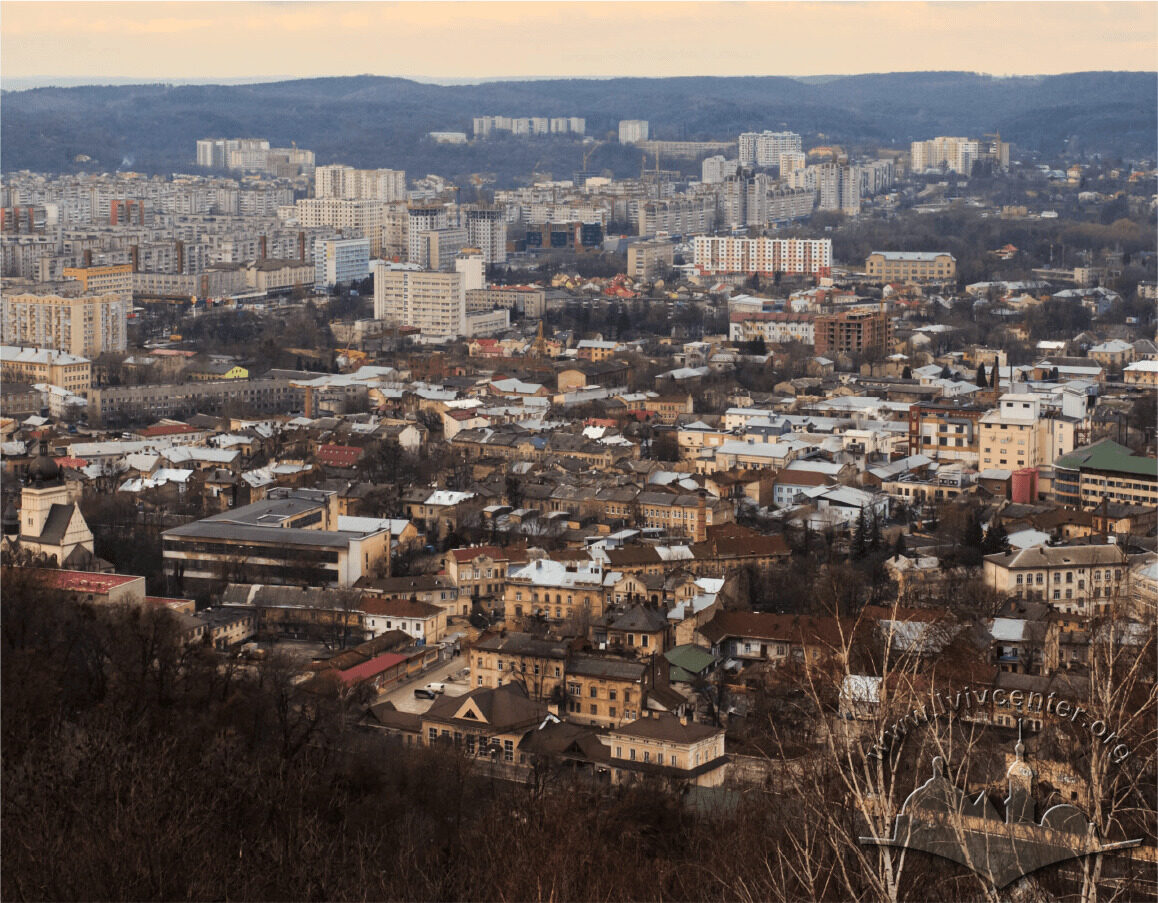
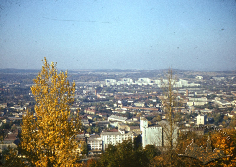
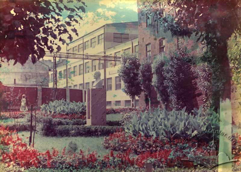
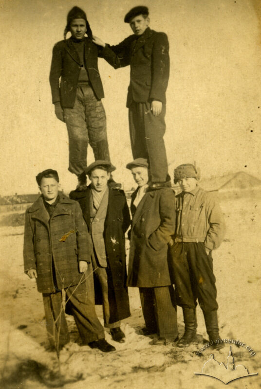
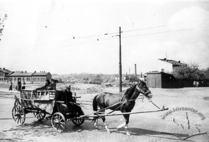
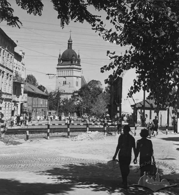
The purpose of the project is to present in "Lviv Interactive" map the features and the main points of the historical development of several areas of the north-eastern part of the city, united under Pidzamche name.
History
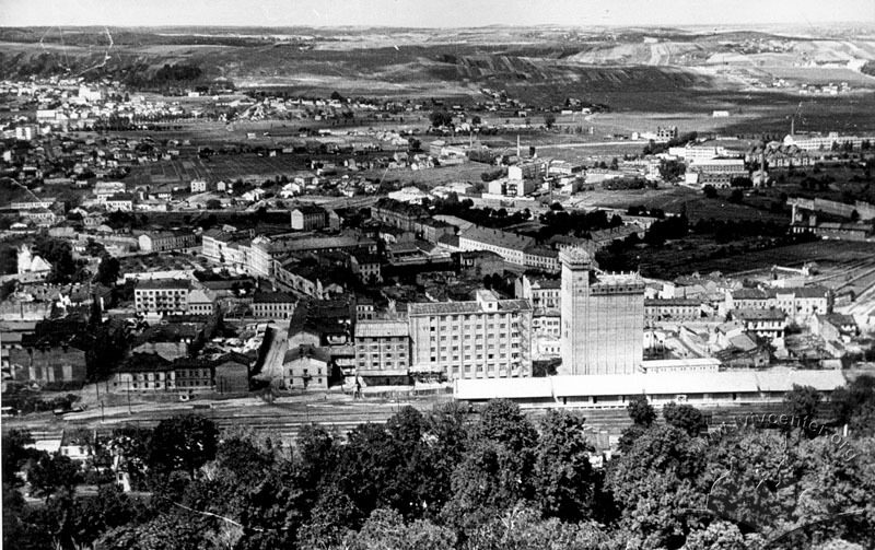
The purpose of the project is to present on the Lviv Interactive map the peculiarities and the main points of the historical development of several areas located in the north-eastern part of Lviv, and united under the name of "Pidzamche." The main focus of the project is on the places and objects which have played an important role in the neighborhood's life and in the formation of its material and symbolic landscape, or can serve as illustrative examples of significant processes, trends or practices typical of the neighborhood.
The Center's for Urban History research interest for Pidzamche is determined by several factors: an important functional role of the neighborhood (it used to be the main industrial area of Lviv); the neighborhood's historical specificity (during nearly the whole pre-Soviet history of Lviv, Pidzamche was a rather special commercial, working, and Jewish area, and during the German occupation it was a place of the ghetto and the Holocaust); the present-day unattractive image of the neighborhood and its marginality on the cultural map of Lviv (especially in relation to the recent Soviet history). The presentation of the researches of Pidzamche on the interactive map aims to facilitate a return of the neighborhood to the focus of both scholars' and Lviv residents' attention.
Lviv's North-Eastern Suburb: the Main Characteristics and Historical Transformations
Lviv's north-eastern part has a long history, perhaps even longer than the history the city's central part. In fact, according to researchers (and following Bartłomiej Zimorowicz, a seventeenth century Polish historian), it was the quarters located at the foot of the Zamkova (Castle) Hill, to the north of what is now the city's historical center, that the pre-Polish, "princely" town was located. Later, after the transfer of the city center, this area found itself outside the walls of the medieval city of Lviv and was subordinate not to the city authorities, but to the royal starosta. The former "under-the-castle" downtown was now only the north-eastern part of the Krakivske suburb. There remained — and settled later — those who had difficulty obtaining the official citizenship of Lviv. First of all, it concerned Jews whose residence in the city was strictly controlled and limited: only a few rich and influential Jews could settle in the new fortified town. Also, artisans and traders who were not part of the city guilds felt more freely at the Krakivske suburb, as well as just poor people, particularly immigrants from nearby villages, for whom living in the city meant unacceptable expenses.
With the beginning of industrialization
in Lviv in the nineteenth century, the geographic peculiarities of this area
(its smooth surface and a natural barrier from the side of the walled city —
the Vysokyi Zamok (High Castle) Hill), the relative cheapness of land and its
low status in terms of quality of living made them the most convenient place
for industrial construction. After the construction of the railway in 1869, the
neighborhood's industrial significance was increased. For the same reasons the
city authorities also placed not too attractive though important public facilities
there. In fact, until the end of the Second World War, the north-eastern part
of Lviv for many centuries retained its special character as a neighborhood of
craftsmen and traders, workers and Jews, and, later, as an industrial and
economic area. After the almost complete destruction of Lviv's Jewish minority
due to the events of the Holocaust, the area ceased to be associated with Jews.
Only a few surviving synagogues and individual buildings, associated with the
activities of Jewish merchants or businessmen, could indicate their former
presence here. Later, the Soviet authorities made significant efforts to
cleanse the territory of the suburb of its other special meaning, that of a
commercial center. However, the struggle against spontaneous traders, proclaimed
black marketeers, as well as transferring old markets and arranging new ones
yielded only partial results. The presence of a large number of factories and
handicraft enterprises, producing things important for everyday life and food,
strongly stimulated the workers and local residents to informal trade
"under the counter" or "from the checkpoint." The suburban location attracted also a large
number of rural dwellers, who brought there domestically produced food for sale,
and dealers, who bought it at lower prices than "in town." In Soviet
Lviv, the industrial significance of the northern suburbs began to dominate.
The pre-war enterprises were restored, some of them were expanded and
reorganized, while others changed their specialization. Many new enterprises
appeared in territories still remaining vacant.
Pidzamche: at the Crossroads of Old and New Spaces
Till the second half of the eighteenth century all town quarters to the north of the Krakivska gate were called the Krakivske suburb. After the incorporation of Lviv in the Habsburg Empire the Austrian authorities established a new administrative division of the city. The name of Krakivske was given to the western suburb while the northern one was officially called Zhovkivske. In the east, it was limited be the Vysokyi Zamok Hill and by the village of Znesinnia; in the west, by the Poltva river; in the north, by the village of Zamarstyniv.
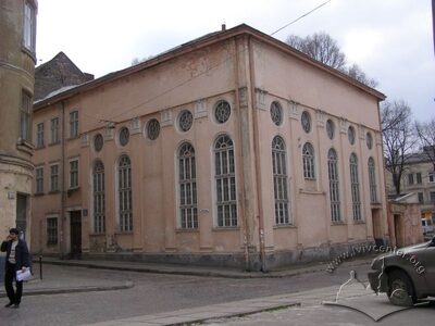
It was possible to speak about the separate neighborhood of Pidzamche within the Zhovkivske suburb from the late 1860s, when a new railway was built from the main city station and farther to Brody. The railway was laid through the whole suburb, dividing it into two parts, a north one and a south one. Although the dividing line was drawn rather accidentally, the areas which found themselves on either side of the railway embankment, were markedly different. Closer to the city's center, the main commercial areas and the main objects of Jewish religious life were located, while the territory north of the railway was transitional between the city and Zamarstyniv, its housing was less dense and worse; besides, it was there that industrial buildings were concentrated. Although the both parts continued to be perceived in a single topographical context, the railway formed a significant border and was an obstacle for communication and transportation. The far part of the Zhovkivske suburb was given an unofficial name of Pidzamche: that was the name of a new railway station located at the foot of the northern slopes of the Zamkova Hill. However, the toponym of Pidzamche continued to be used in its older sense, as the name of all the neighborhoods adjacent to the Vysokyi Zamok north of the downtown.
Exploring Pidzamche: Methodological Challenges
Pidzamche is a vernacular spatial phenomenon. Its territory is determined by an informal, "grassroots," traditional mode of perception of space by Lviv residents. The borders of Pidzamche are quite conditional and are not fixed in detail by any maps or plans. For almost every Lvivite this neighborhood is defined in a different way. In this situation we have to deal with all possible subjective localizations of this toponym, focusing, however, on the area of their intersection.
On the one hand, the lack of an officially established definition of Pidzamche, which could be relied on, makes the research difficult. After all, dealing with subjective material, we have to analyze personal experience of the "other" who never reveals himself/herself completely. On the other hand, we can also speak of an "openness" of the research object, which enables us to see it in a multifaceted perspective, to notice its dynamic connections with the general context and other phenomena. The lack of a clear official, political, cultural, or social framework, which formalizes or formalized the spatial phenomenon of Pidzamche, allows the researcher to study the urban reality in the process of becoming, rather than using some existing and backward structures of perception. Any place contains a lot of "parallel" spaces, each of which is specified by different processes and conditions. For several centuries the territory associated with the name of Pidzamche, became a place of intersection of numerous governmental, public, and everyday policies, practices, agents, and forces, sometimes mutually contradictory. All they have left their mark there, but we can speak also about the creation of a special material and symbolic landscape which is not a mere reflection of all these processes but contains something new, something that is unique to it. The controversial, difficult, and marginalized history of Pidzamche is an excellent material for a study of "social space," which combines physical spatial characteristics with discursive and mental representations and social practices. Pidzamche has always been a territory, which was both a challenge and a resource for the actual city. In the nineteenth and twentieth centuries the "central" (city or state) authorities repeatedly attempted to make the northern suburbs an object of their now exploiting, now emancipating or modernizing policies. However, the experience of "being left to the mercy of fate," acquired by the suburb, also specified its own local position or, more precisely, a position of the subject, which manifested itself in the "resistance of local material" and in the creation of specific local identities. The study of this complex tangle of interweaving conditions, produced by various long historical processes, material circumstances, discursive factors, and socio-cultural practices, requires more than one thorough research.
"Pidzamche: Spaces and Places"
Project at the Lviv Interactive
The project "Pidzamche: Spaces and Places," implemented on an interactive map of Lviv, is an attempt to create a basic auxiliary resource for studies of this kind. It presents a dual purpose: 1) to show, in the first approximation, the historical and spatial and material reality behind the vague and subjective phenomenon of Pidzamche; 2) to partly identify and to fix through appropriate representations the important subjective and personal experience, invested, in the course of decades, in the space, places, and material objects of the neighbourhood. Here the important point is the correlation with a broader spatial and temporal context within the general project "Lviv Interactive".
The timeline of "Pidzamche" begins from the late 1860s, when the railway "Lviv-Brody" was laid through the Zhovkivske suburb, and ends with the present day.
The basic method of the interactive representation of Pidzamche is creating a cartographic database of objects that are important to illustrate various aspects of the history of this neighborhood. Both individual buildings and certain places or territories can be used. Fixing objects on the map is accompanied by the provision of additional information, historical and architectural reference, analytical and descriptive texts, quotes from original sources, visual materials. For coverage of various parallel thematic layers, present in the history of Pidzamche, the cartographic base is divided into several map planes mutually intersecting and complementing each other. They represent the following sub-themes:
- Pidzamche as an industrial area and a working neighborhood;
- Pidzamche as a Jewish neighborhood;
- Pidzamche as a trading neighborhood;
- Pidzamche as an object of government and municipal policies and practices;
- Pidzamche as a symbolic and cultural landscape.
Organizations
-
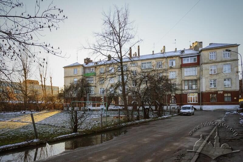
Model Workers' Houses at Habrielivka
More -
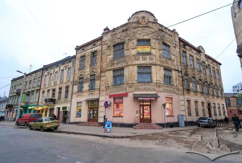
The Krampner Townhouse
More -
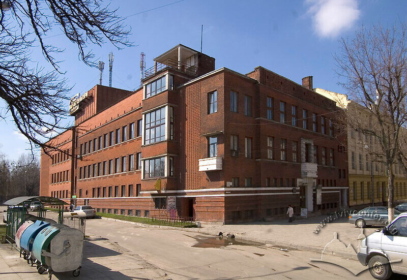
The Community Workers' House: a Monument of Lviv's Interwar Working Culture
Pidzamche's working culture symbol is a big red building, located just behind the railway bridge, between Zamarstynivska street and Chornovola prospect. Today, the building is officially called the "Hnat Khotkevych Palace of Culture."
More -
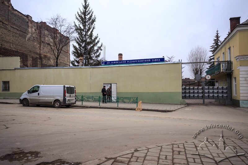
The Machine Production of Ferdynand Pietsch (the Zieleniewski Company)
More -
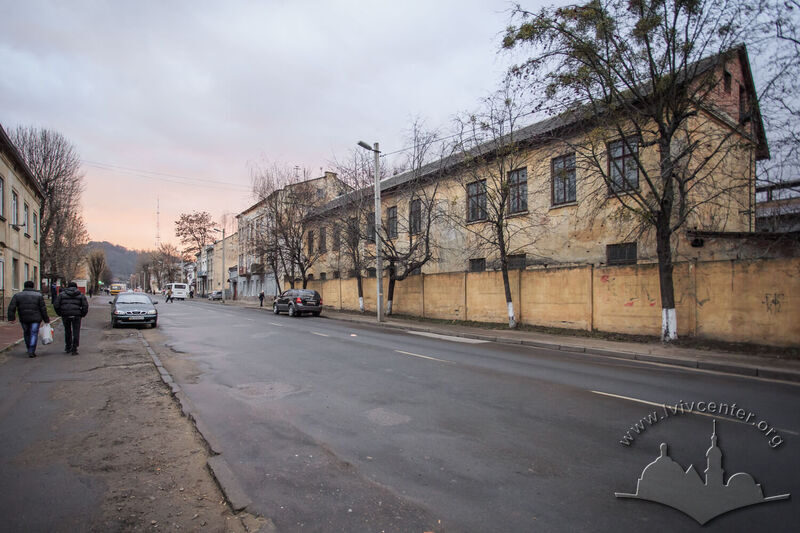
The Tinned Food Factory of Zygmunt Rucker: a History of Polish Business Successful Formation
Історія "Фабрики консервів Зиґмунта Рукера" (Fabryka konserw Zygmunta Ruckera) — приклад успішних стратегій польського підприємця в умовах конкуренції з "центральною" австрійською промисловістю в Австро-Угорській імперії, а також в умовах централізованої національної польської держави у міжвоєнний період.
More -
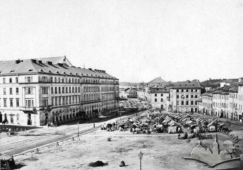
The Traditional Commercial Space of "Krakidaly"
More -
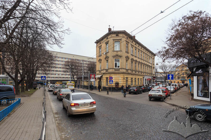
The Movement of the Lviv City Slaughterhouse
More -
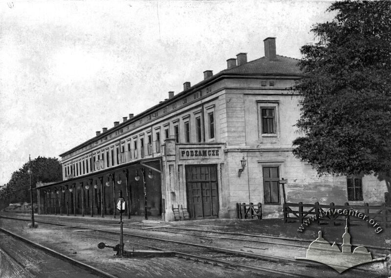
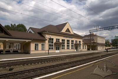
The Pidzamche Railway Station
More -
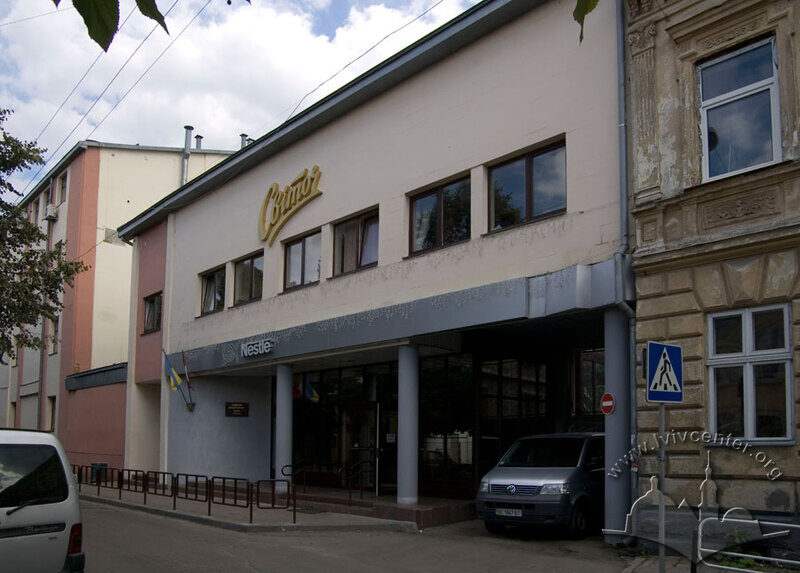
The History of the Soviet Factory "Svitoch"
More -
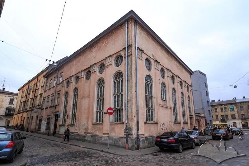
Jakub Glanzer's Synagogue
More -
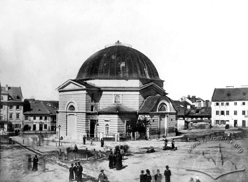
The Tempel Synagogue
More -
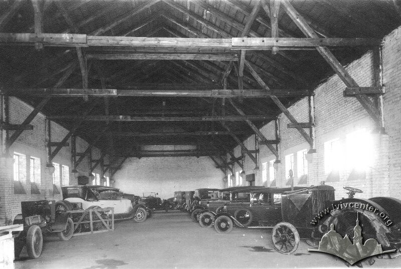
City Cleaning Plant
More
Related places
-
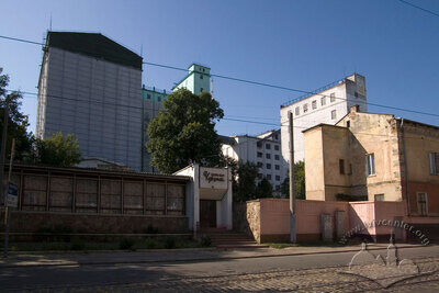
Вул. Богдана Хмельницького, 88 – комбінат "Хлібопродукт"
-
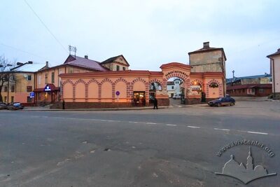
Вул. Богдана Хмельницького, 114 – завод "Алмазінструмент"
-
Вул. Огіркова, 1 – залізнична станція "Підзамче"
-
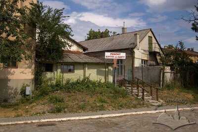
Вул. Огіркова, 6 – житлові будинки
-
Vul. Vuhilna, 1–3 – former Jankel Jancer Shul synagogue